

در حال بارگذاری…
در حال بارگذاری…
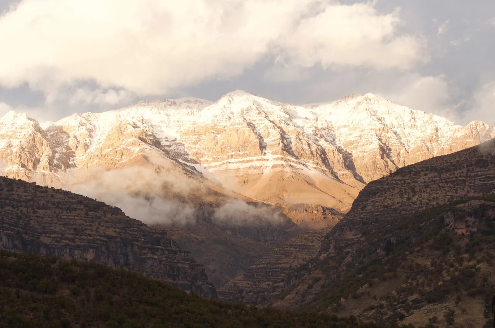
Photo: Bazofti — CC BY-SA 4.0 — Wikimedia Commons
Kuhrang County, near Chelgerd
Zard Kuh is a mountain range in the central Zagros, in Kuhrang County of Chaharmahal and Bakhtiari Province, west of Shahrekord. It has several peaks over four thousand metres and natural glaciers, and it is one of the sources of the Karun and Zayandeh Rud rivers.
Zard Kuh lies between the Kuhrang river and the Bazoft river and stretches from north-west to south-east. Kolunchin, at 4,221 metres, is the highest peak of the range, and other peaks such as Shah Shahidan and Haft Tanan are in the same area.
🕘 Opening hours
Unknown
🎫 Entry
Unknown
⏱️ Time to spend
About 2 hours (typical for this kind of place)
This page is a translation of our Persian guide to this place, where visitors also leave reviews. Last checked: 15 October 2026.